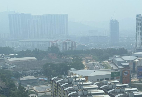


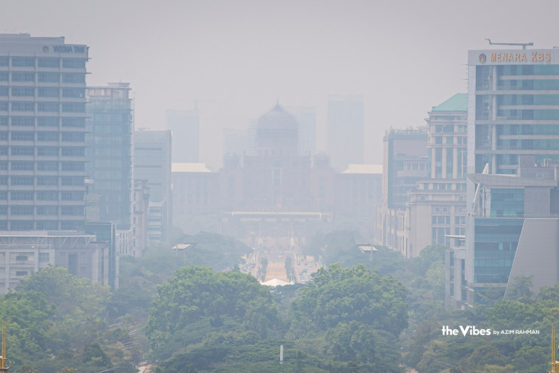
HAZE from persistent fires in the region is affecting air quality across Malaysia and disrupting air travel in Indonesia, with 37 Malaysian locations recording unhealthy pollution levels and several Sumatra airports reporting flight delays and diversions.
Seremban in Negeri Sembilan recorded Malaysia’s highest Air Pollutant Index (API) reading at 187 as of 11am, followed by Bukit Rambai in Melaka at 185 and Pasir Gudang in Johor at 184, according to the Malaysian Air Pollutant Index Management System (APIMS).
Nilai, Melaka City and Segamat each registered 183.
Johor was among the worst-affected states, with eight locations recording unhealthy readings. These included Tangkak, Larkin at 176, Kluang at 175, Pengerang at 174, Batu Pahat at 169 and Kota Tinggi at 168.
In Selangor, Shah Alam recorded 177, Petaling Jaya and Banting 168 each, Klang 166 and Kuala Selangor 153. Perak’s readings included 180 in Tasek Ipoh, 174 each in Pegoh Ipoh and Tanjung Malim, 159 in Seri Manjung and 125 in Taiping.
Batu Muda, Cheras and Putrajaya each recorded 170. Other unhealthy readings were reported in Pahang, Kedah, Penang and Terengganu, while monitoring stations in Sabah, Sarawak, Labuan, Kelantan and Perlis remained at moderate levels.
APIMS classifies readings of 101 to 200 as unhealthy and 51 to 100 as moderate. Children, older people and those with respiratory conditions have been advised to limit outdoor activities and take precautions.
Across the Strait of Melaka, haze from forest and land fires has disrupted flights at several airports in Sumatra, where visibility has fallen to levels affecting safe flight operations.
At Sultan Mahmud Badaruddin II International Airport in Palembang, five flights were delayed on Thursday morning after visibility dropped below the minimum operational threshold of 600 metres, airport general manager Ahmad Syaugi Sahab said.
Three departures to Jakarta and Pangkalpinang in the Bangka Belitung Islands and two arrivals from Yogyakarta and Jakarta were affected. The same airport experienced disruption to 18 flights on Oct 3.
In Pekanbaru, Riau province, a Lion Air flight from Jakarta returned to Soekarno-Hatta International Airport on Wednesday, while a Citilink flight was diverted to Hang Nadim Airport in Batam after visibility fell to as low as 600 metres.
A Pelita Air flight also circled over Pekanbaru five times before landing safely at 8.40am as conditions improved.
At Sultan Thaha Airport in Jambi, eight flights to and from Jakarta were delayed or rescheduled on Wednesday as visibility fell from 1,500 metres at 6am to 800 metres by noon.
At Silangit Airport in North Sumatra, visibility dropped to one kilometre for a second consecutive day. Although flights were still operating normally at the time, a meteorological agency forecaster warned that such conditions could disrupt operations.
The fires have burned more than 36,000 hectares across Sumatra this year, according to Indonesia’s forestry ministry. Riau accounted for 15,738 hectares, followed by the Riau Islands with 5,760 hectares and Lampung with 4,890 hectares.
Indonesia’s Meteorology, Climatology and Geophysics Agency detected 4,806 hotspots across Sumatra on Wednesday morning, including 3,689 in South Sumatra and 438 in Jambi.
Air pollution has reached severe levels in parts of the island. PM2.5 concentrations in Palembang hit 903.6 micrograms per cubic metre on Monday, the highest recorded there this year and classified as “very hazardous”. In Pekanbaru, concentrations reached 298.7 micrograms per cubic metre on Tuesday, placing air quality in the “hazardous” category.
Several Indonesian regions have closed schools or moved classes online and to home-based learning to reduce exposure to the haze. - October 9, 2026