

THE Department of Environment (DOE) has launched a nationwide crackdown on open burning, deploying thousands of ground patrols and drone surveillance missions to mitigate haze and enforce environmental laws.
Since the beginning of the year, the DOE has conducted 4,184 ground patrols and 645 drone flights across the country, leading to 58 notices of instruction, 27 court proceedings, and 59 compounds issued for violations related to open burning, DOE director-general Datuk Wan Abdul Latiff Wan Jaffar confirmed in a statement on Saturday.
“The DOE has intensified enforcement actions and daily patrols in areas with high potential for open burning, while continuously monitoring the Air Pollutant Index (API) readings,” he said.
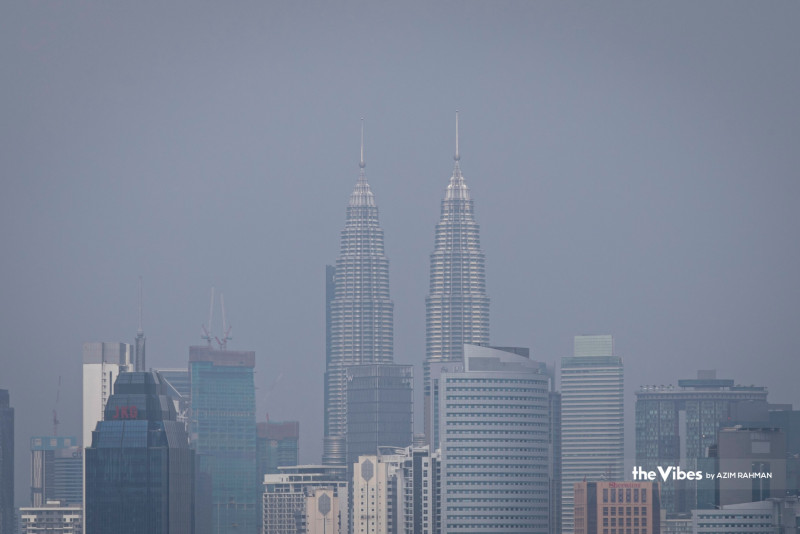
In response to worsening air quality in some regions, both the National Open Burning Action Plan and the National Haze Action Plan have been activated to coordinate government-wide efforts.
“All landowners are advised to closely monitor areas prone to fire, such as landfills, forests, peatlands, plantations, agricultural zones, and industrial sites. They must also take proactive steps to prevent trespassing by irresponsible parties, which could lead to open burning, either deliberately or unintentionally,” Wan Abdul Latiff added.
As of 3 pm today, API readings on the DOE’s portal indicated good air quality in five areas, moderate levels in 61 areas, and unhealthy readings in Kuching, Sarawak and Johan Setia, Selangor.
“The air quality deterioration in these areas is still influenced by transboundary haze, with no major local fires contributing to the situation,” Bernama reported him saying.
The Sarawak Natural Resources and Environment Board (NREB) separately flagged two high-risk districts—Lundu and Tebedu—near the Malaysian-Indonesian border, as particularly vulnerable to haze brought in from across the border.
As of 8 am today, Lundu recorded an unhealthy API of 125, while Tebedu registered a moderate level at 69. NREB cited hotspot data from the ASEAN Specialised Meteorological Centre (ASMC), noting a high concentration of fires in neighbouring Indonesia near Sarawak’s border.
“Forecasts from the Malaysian Meteorological Department indicate that smoke trajectories could cause moderate haze over western Sarawak for a 72-hour period beginning 21 July,” the board said.
In addition to intensified physical patrols and drone surveillance in agricultural and bush areas, the NREB reported only 62 hotspots detected in Sarawak during the period of 18 to 24 July, compared to 448 in Indonesia.
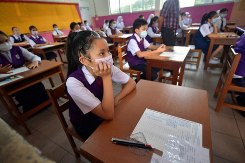
The board has committed to issuing regular API updates and liaising with the Sarawak State Disaster Management Committee to decide on further measures, including potential school closures.
The public has been urged to avoid open burning and to report any such activity to the nearest NREB office or via 082-447488 / 082-319500. - July 26, 2025