

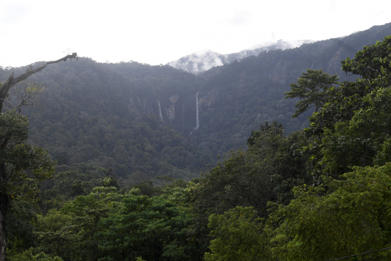
YAN – The Mineral and Geoscience Department detected six more small-scale landslides on the slopes of Gunung Jerai here today, a week after a water column incident flooded nearby areas surrounding the mountain.
Its geological engineering branch chief, Ferdaus Ahmad, said the earthslips were identified based on field research conducted by the department this morning, and that their widths vary between 3m and 4m.
“We found that the landslide process is occurring because of the incident last week.
“At that time, the soil was still not saturated, but it has been raining these past few days, and this has saturated the soil. As a result, some landslides occurred,” he told reporters after inspecting the landslides.
Ferdaus cautioned those plying the mountain roads to be alert and careful.
“If there is heavy rain, there is a possibility that landslides and other impacts will occur,” he said, adding that the department has categorised an area with four large-scale slips (widths of more than 10m) as a danger zone.
The department will need to conduct research and an investigation before it can identify the distance and extent of the entire zone, he added.
He said a landslide area is categorised as a danger zone when there are signs that another may occur, such as cracks or unstable rocks that may pose potential threats.
However, he added, a danger zone label is just temporary while waiting for slope repair and mitigation works to be done. – Bernama, August 24, 2021