


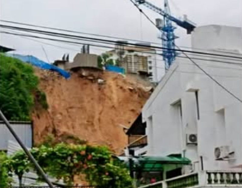
MALAYSIA has recorded 1,293 landslide incidents since 2021, while 1,577 slopes nationwide remain in critical condition and at high risk of collapse as the Northeast Monsoon brings prolonged heavy rainfall.
Sarawak recorded the highest number of incidents at 508, followed by Sabah with 195 and Selangor with 176, according to figures disclosed by Fire and Rescue Department director-general Datuk Seri Nor Hisham Mohammad.
He said 314 landslides were recorded in 2025, the highest annual figure during the period, with Sarawak accounting for 127 cases and Sabah 75.
The department had identified dozens of high-risk hotspots through data coordination with the Minerals and Geoscience Department (JMG), with vulnerable locations including Hulu Langat, Ampang and Batang Kali in the Klang Valley, routes to Cameron Highlands, Paya Terubong in Penang and Kundasang in Sabah.
“The rapid pace of development on hillsides in these locations makes them highly vulnerable to fast-moving rainwater runoff during the monsoon season,” he told Utusan Malaysia.
Nor Hisham said 242 incidents were recorded in 2021, following the exceptional December floods that damaged infrastructure in Hulu Langat, Selangor, and Bentong, Pahang.
The following year saw 234 incidents, including the Dec 16 landslide at a campsite in Batang Kali that claimed 31 lives.
A total of 188 incidents were recorded in 2023, the lowest annual figure during the period, including slope damage at the Malaysian Anti-Corruption Academy (MACA) and Bukit Tunku in Kuala Lumpur.
The number rose to 231 in 2024, with failures concentrated along highland routes in Ranau, Genting Highlands and Paya Terubong, causing road closures and fatalities.
Between January and September this year, 84 incidents were reported.
Explaining the causes, Nor Hisham said prolonged heavy rainfall could lead to groundwater accumulation, increasing pore-water pressure and weakening soil cohesion until slopes gave way.
Land-use changes, hillside deforestation, mining activities and inadequate drainage systems could further accelerate erosion, particularly when drains failed to cope with overflowing surface water.
He added that hillside cutting for roads and development could disrupt natural slope stability, while infrastructure loads and vibrations from heavy vehicles could accelerate the formation of hidden cracks in embankments.
The Fire and Rescue Department is working with the National Disaster Management Agency (NADMA) and technical agencies to strengthen preparedness in high-risk areas.
Landslide hazard mapping is being used to guide the pre-positioning of rescue assets, including K9 detection dog units and the Malaysian Special Malaysia Disaster Assistance and Rescue Team (SMART), near red zones before heavy rain warnings are issued.
“MetMalaysia provides continuous weather warnings, JMG supplies geological and ground-movement data, while JKR monitors the technical integrity of road structures and slopes.
“All this integrated data acts as a compass for rescue teams in planning safer and faster search and rescue (SAR) operations,” he said.
Nor Hisham urged residents in vulnerable areas to watch for early signs of ground movement, including new cracks in floors or walls, leaning trees and electricity poles, and sudden changes in the colour of water flowing from hillsides or drains.
“Most importantly, stay away from steep slopes during prolonged rainfall and comply immediately with evacuation orders from the authorities without waiting for the situation to worsen,” he said. - November 2, 2026