

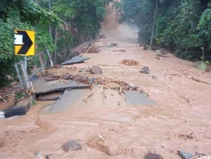

GURUN – After disastrous floods and collapse of earth caused by the deadly “waterhead” surge on Gunung Jerai, the Mineral and Geoscience Department is deploying drones to map the mountain and identify the source of the natural tragedy.
Abdullah Sulaiman, the department’s regional director overseeing Kedah, Perlis, and Penang, said the phenomenon has been classified as a geological disaster, linked to a landslide that caused soil debris to flow down the river.
“We have brought together a task force to oversee this incident,” he said yesterday.
“I have also instructed the task force to start investigations to find the source of the geological disaster, which people have claimed was a waterhead and mudflow.”
“Waterhead” is derived literally from the Malay phrase “kepala air”, which refers to a heavy overflow of water from a source upstream or uphill, such as at a reservoir, pond, or waterfall.
Abdullah said that drones will be used as it is too dangerous for those in the task force to visit the site physically.
“We will try our best to investigate and identify the source, and also calculate the risks of other disasters that might happen,” he said to the media.
“From the technical point of view, the flow is closely related to the landslide that happened. The landslide is also part of the geological disaster we are looking at,” he added.
Abdullah said there are still many unknown factors that may have caused the massive gushes of water.
He said the team will investigate if there is a water reservoir somewhere on the mountain, or if landslides have been happening even before the disaster on Wednesday.
The incident recorded four fatalities. The first was Ahmad Din, found at 6pm on Wednesday at Kg Setol, and the second was Shahruzi Mohamad, spotted at 11pm at KM8 on Gunung Jerai.
Zainol Morad’s body was found at 12.30am at Kg Titi Hayun. The fourth was Mohamad Faizal Mohd Zohir, found at 3.10pm on Thursday at Keda Sg Udang.
“We are now still at the beginning stages of our investigation, and we are still waiting for the drones to map out the area,” Abdullah said.
“We only can give more information this coming Monday.
“We will share our findings with the ministry and local government to see what can be done to reduce the risk of it happening in the future,” he said.
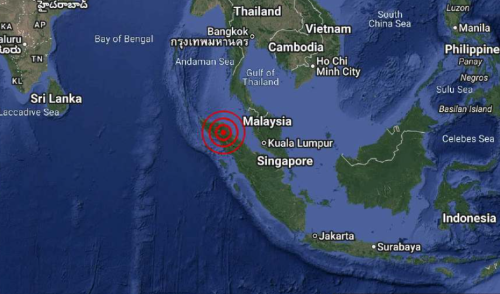
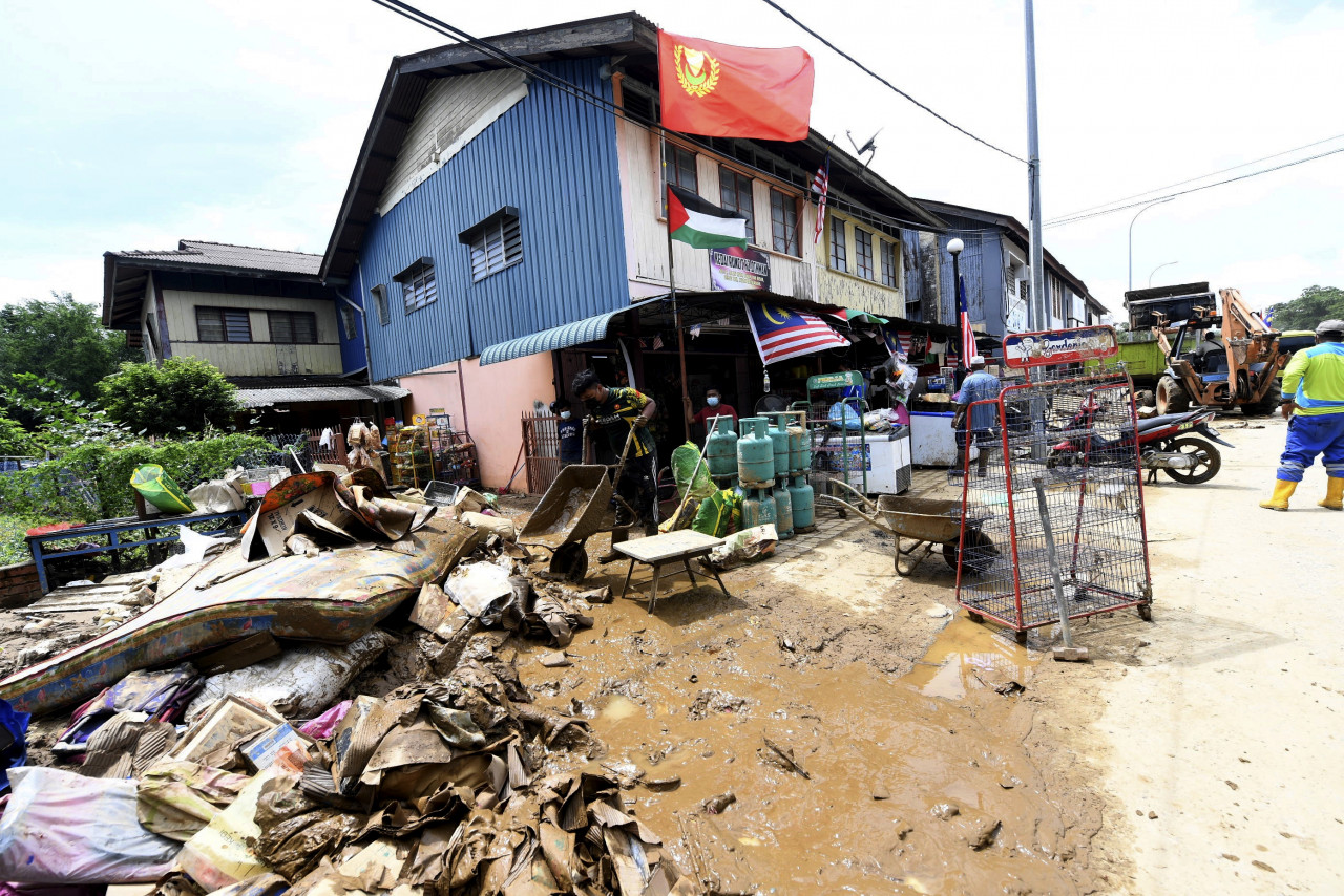
Large parts of the Yan and Kuala Muda districts near the mountain were inundated with floods as heavy rains lashed the region.
Emergency reports first came in from around rivers, especially Sg Kunyit, Sg Teroi and Sg Puteri Mandi, which overflowed.
Kedah Menteri Besar Muhammad Sanusi Md Nor said that villages at the mountain’s base such as Kg Perigi, Singkir, Titi Teras, Teroi Bukit, Kg Acheh, Kg Setol, Kg Lubuk Boi, Kg Permatang Keramat, and Pekan Yan Besar were also hit.
Those whose homes were damaged or badly flooded were evacuated to temporary relief centres in two schools in Yan, with individuals separated by three categories – Covid-19-positive (14 people), precautionary quarantine (45), and normal (at least 60). – The Vibes, August 22, 2021