


THE Penang State Government has approved a study on the realigned route for the Third Link, which proposes a bridge design as an alternative to the previously suggested undersea tunnel.
Zairil Khir Johari, the State Executive Councillor for Infrastructure, Transport, and Digital, stated that the study takes into account the expansion plans for the Port of Penang, as well as the need to alleviate traffic congestion in the Gurney Bay area and its surroundings.
According to him, the proposed realignment involves shifting the route further north to ensure compatibility with the port's expansion plans, while also avoiding any disruption to port operations and vessel navigation lanes.
“At present, a conceptual design study is underway. Its findings will be presented to the Penang Port Commission (PPC) for feedback and further consideration.
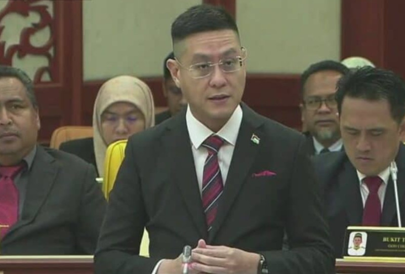
“This assessment aims to ensure that any decision on the project’s implementation takes into account technical feasibility, financial implications, public mobility needs, maritime safety and navigation, as well as the long-term benefits to the state’s socioeconomic development,” he said during the Penang State Legislative Assembly sitting, today.
He stated this while responding to Teh Lai Heng (DAP – Komtar) regarding the latest status of three highway projects and one undersea tunnel under the Penang Transport Master Plan (PTMP) as of September 2026.
Zairil (DAP – Tanjung Bungah) noted that the assessment of these projects aims to ensure that implementation decisions take into account technical feasibility, financial implications, the public’s mobility needs, maritime safety and navigation, as well as long-term benefits for the state’s socio-economic development.
According to him, the four project packages are at different stages of implementation and planning, with only Package 1 currently being executed.
He explained that the North Coast Paired Road (NCPR) project involves a proposed route stretching from the Tanjung Bungah area to Teluk Bahang.
The NCPR project is part of the “three main roads and a tunnel” project awarded in 2013, which entails the construction of a 10.61-kilometre (km) highway comprising 8.41 km of land-based road and 2.2 km of coastal viaduct connecting Tanjung Bungah to Teluk Bahang.
Once completed, the travel time from Tanjung Bungah to Teluk Bahang is expected to be reduced from 30–45 minutes during peak hours to just seven minutes.
In a related development, Zairil stated that the state government is reviewing parts of the project alignment to ensure that the proposed plans account for technical feasibility, local sensitivities, population density, and the risk of soil erosion.
“In this regard, the terms of the Sub-Agreement (SA) are currently being finalised before signing.
“At the same time, the state government is also in the process of conducting an Environmental Impact Assessment (EIA) for a portion of the new alignment,” he said.
According to him, this approach is essential to ensure that the proposed development takes into account transportation needs, safety, and the interests of the residents.
Meanwhile, regarding the project connecting Bandar Baharu Air Itam to the Tun Dr Lim Chong Eu Expressway, Zairil stated that it had reached 93.19 per cent physical completion as of September 30.
He noted that the project is expected to be completed by April 2027 and will only be opened to road users once testing and commissioning have been carried out and a Road Safety Audit (RSA) has been approved. – November 2, 2026