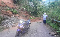


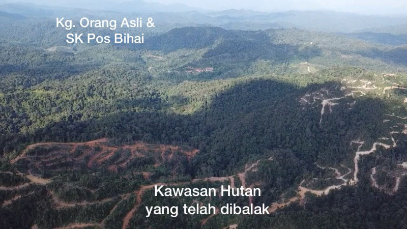
MACHANG – The Kelantan Forestry Department denied that the drone photograph of traces of forest logging activities that went viral yesterday was taken near a tiger habitat or the Orang Asli village in Pos Bihai, Gua Musang.
Department director Abdul Khalim Abu Samah said that the actual distance was between five to six kilometres from the location of the recent tiger attack.
“I advise the public not to manipulate the image as the logging location is not close to the tiger habitat or the location of the wild animal attack.
“Checks revealed that the location of the tiger attack, Pos Bihai, is an Orang Asli settlement area outside the Perias Permanent Forest Reserve,” he told reporters after attending the Bukit Bakar Eco-Forest Park opening ceremony officiated by Kelantan Menteri Besar Datuk Ahmad Yakob here today.
He said this when asked to comment on media reports regarding allegations by a non-governmental organisation that took an image using a drone to detect logging activities in the tiger habitat located near the Orang Asli village in Pos Bihai, Gua Musang.
Khalim said most of the Perias Forest Reserve is a production forest, with several forest plantation development areas along the route to Pos Bihai, and was gazetted as a protection forest, or water catchment forest, by the state government in 2019. – Bernama, January 18, 2022