

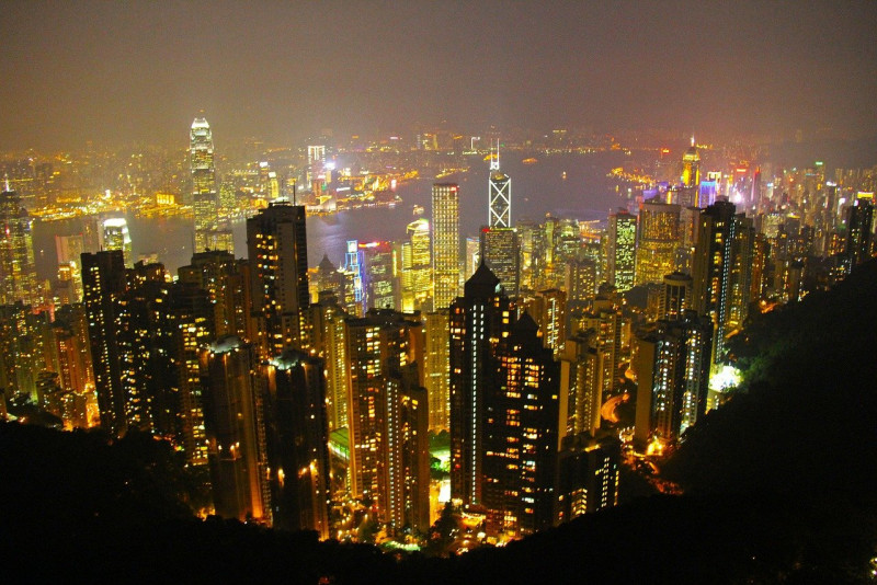
HONG KONG raised its No. 8 tropical cyclone warning signal—its third-highest level—in the early hours of 20 July as Typhoon Wipha approached from the southeast, bringing strong winds and torrential rain to the region.
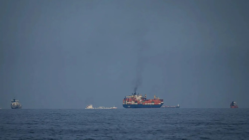
According to the Hong Kong Observatory, Wipha was located approximately 280 kilometres southeast of the city at midnight and was forecast to intensify as it moved across the northern South China Sea toward the coast of Guangdong province.
The T8 signal indicates that “winds with mean speeds of 63 kilometres per hour or more are expected”. The observatory also warned that the region would face “frequent heavy squally showers and thunderstorms”, with rough seas and large swells.
Over 250 flights to and from Hong Kong had been cancelled by the evening of 19 July, according to the city’s airport website. The Airport Authority advised travellers to anticipate “significant flight cancellations or delays”, and announced that no passenger flights were expected to depart before noon on 20 July.
Authorities also ordered the closure of all day schools and childcare centres on 20 July, while bus services are expected to remain suspended until at least midday.
Typhoon Wipha has already caused heavy rainfall and flooding in parts of the Philippines, where two people have been reported missing, according to the country’s National Disaster Risk Reduction and Management Council.
Meanwhile, mainland China has also placed its southern provinces of Hainan and Guangdong on high alert, as the typhoon edges closer to the coast, state news agency Xinhua reported. - July 20, 2025