

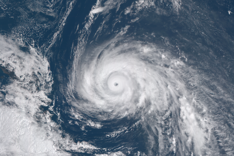
SEOUL – The southern coastal region in Jeju is forecast to be hit by heavy downpours and strong winds today, as Typhoon Omais is projected to make landfall there later tonight, said the national weather agency.
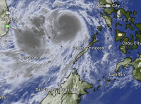
The Korea Meteorological Administration said as at 4am, the typhoon was located some 320km northwest off Okinawa, Japan, and slowly advancing towards the Korean peninsula at 26kph.
It is projected to pass the southern resort island of Jeju at night and make landfall around midnight, reported Yonhap news agency.
Typhoon Omais is forecast to bring ferocious winds and torrential downpours of more than 70mm per hour to Jeju during the day, with an accumulated 100mm to 300mm of rainfall until tomorrow.
A low-pressure system, which is also approaching the island, is expected to bring additional rainfall accompanied by thunder and lightning.
The southern port city of Busan is expected to be hit with heavy rain of 70mm per hour and bring 30metre-per-second wind gusts, with some areas receiving as much as 400mm of rain until tomorrow.
The weather service warned that a storm surge and strong winds could disrupt public transportation to the island until tomorrow, and advised the local government and residents in low-lying areas to thoroughly prepare for the storm.
South Korean President Moon Jae-in has today instructed the government to maintain a firm emergency response system.
He ordered relevant authorities to prepare for carrying out a “special response”, and asked the people to pay keen attention, according to Blue House spokesman Park Kyung-mee.
The president called for thorough measures against damages by floods and landslides, and a possible impact to Covid-19 vaccination facilities, she added.
The typhoon will be the first to hit the peninsula this year, reported Yonhap. – Bernama, August 23, 2021