


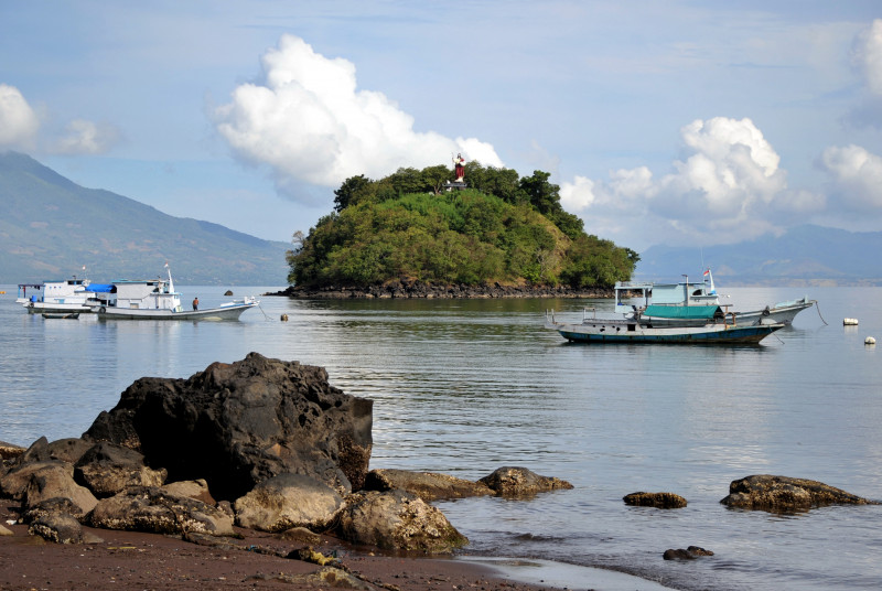
JAKARTA – A 7.3-magnitude earthquake struck eastern Indonesia today, the United States Geological Survey (USGS) said, as monitors warned of the possibility of hazardous tsunami waves.
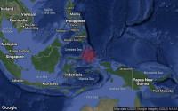
The USGS said the quake struck around 100km north of the town of Maumere at a depth of 18.5km in the Flores Sea at 0320 GMT.
The Pacific Tsunami Warning Centre said “hazardous waves are possible for coasts located within 1,000km of the quake epicentre”.
The USGS said the chance of casualties was low, while noting that “recent earthquakes in this area have caused secondary hazards such as tsunamis and landslides that might have contributed to losses”.
Indonesia experiences frequent quakes and volcanic eruptions due to its position on the Pacific “Ring of Fire” – an arc of intense seismic activity where tectonic plates collide, which stretches from Japan through Southeast Asia and across the Pacific basin.
Among Indonesia’s string of deadly quakes was a devastating 2004 9.1-magnitude tremor that struck off the coast of Sumatra and triggered a tsunami that killed 220,000 throughout the region, including about 170,000 in Indonesia.
The Boxing Day disaster was one of the deadliest natural disasters in recorded history.
In 2018, a powerful quake shook the island of Lombok. Several more tremors followed over the next couple of weeks, killing over 550 people on the holiday island and neighbouring Sumbawa.
Later that year, a 7.5-magnitude quake and a subsequent tsunami in Palu on the island of Sulawesi left over 4,300 people dead or missing. – AFP, December 14, 2021


















_leader__Sanae_Takaichi.jpg)