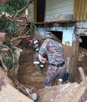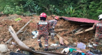


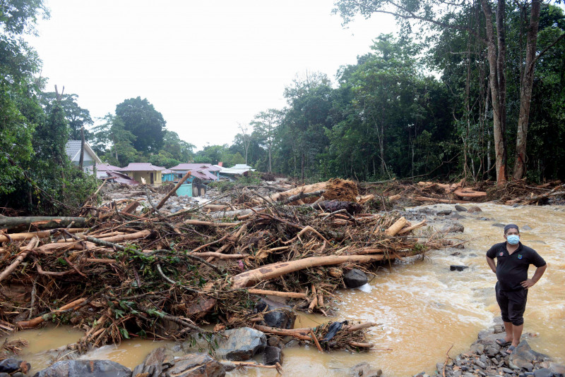
ALOR STAR – Forty-seven landslides were detected at several locations on the slopes and peak of Gunung Jerai by the Mineral and Geoscience Department’s Geological Disaster Task Force after the mudflow phenomenon at the mountain last week.
Kedah, Perlis and Penang Department director Abdullah Sulaiman said the landslides of various magnitudes were found from mapping using unmanned aerial vehicles (UAVs) or drones in the targeted areas, apart from monitoring by the team at the identified locations.
“As of yesterday, our task force has identified 47 landslips in Gunung Jerai with 25 occurring at Titi Hayun, 10 in Batu Hampar and another 10 were found on the route to the mountain peak while two more were discovered in Tg Jaga and Lembah Bujang.
“So, a large portion of the incidents or landslide locations were found in Titi Hayun and Batu Hampar in the Yan district. Both major and minor landslips had occurred,” he told reporters here today.
He was also asked about developments on the study and investigation, on the cause as well as risk assessment on the disaster, which occurred on August 18.
Abdullah said most of the landslides were major, that is, about 10m to 50m wide, apart from minor slips of between 2m to 5m.
Elaborating further, he said the latest finding is important for the team to understand and get a clear picture on the mountain and to draw comprehensive conclusions on the geological disaster.
“We will come up with maps, locations and so on and what we see as most important is called disaster risk reduction (DRR), as we do not know if the disaster will occur again, but we know the risks can be lessened,” he said.
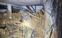
In the floods following the mudflow phenomenon in the evening of August 18, six people lost their lives and about 800 houses were affected in Yan as well as 200 more in Merbok, Kuala Muda. – Bernama, August 26, 2021