

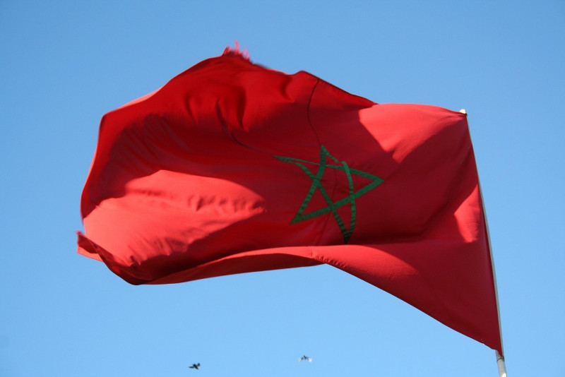
RABAT – The US yesterday adopted a “new official” map of Morocco that includes the disputed territory of Western Sahara, said the ambassador to Rabat.
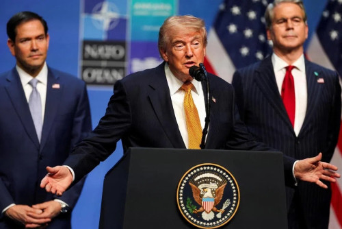
“This map is a tangible representation of President (Donald) Trump’s bold proclamation two days ago – recognising Morocco’s sovereignty over Western Sahara,” said David Fischer, according to a statement seen by AFP.
He then signed the “new official US government map of the kingdom of Morocco” at a ceremony at the US embassy in the capital here.
The map will be presented to Morocco’s King Mohammed VI, he added.
Western Sahara is a disputed and divided former Spanish colony, mostly under Morocco’s control, where tensions with the pro-independence Polisario Front have simmered since the 1970s.
Morocco on Thursday became the fourth Arab state this year, after the United Arab Emirates, Bahrain and Sudan, to announce it has agreed to normalise relations with Israel.
Trump, in turn, fulfilled a decades-old goal of Morocco by backing its contested sovereignty in Western Sahara.
Polisario condemned “in the strongest terms the fact that outgoing American President Donald Trump attributes to Morocco something which does not belong” to the country, namely sovereignty over Western Sahara.
The movement dismissed the announcement, and vowed to fight on until Moroccan forces withdraw from all of Western Sahara.
Prime Minister Abdelaziz Djerad of Algeria – Morocco’s neighbour and regional rival, and the key foreign backer of Polisario – yesterday criticised “foreign manoeuvres” that he said aim to “destabilise Algeria”.
“There is now a desire by the Zionist entity to come closer to our borders,” he said, in reference to Israel. – AFP, December 13, 2020






.jpg)